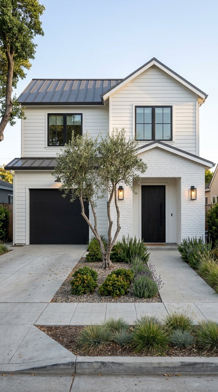
Wondering what daily life in Cupertino actually feels like once the moving boxes are gone? If you are weighing a move, you probably care less about buzzwords and more about whether errands are easy, parks are nearby, and dinner options fit a real weeknight. This guide breaks down how Cupertino works day to day, from convenience corridors to outdoor routines, so you can decide if it matches your lifestyle. Let’s dive in.
How Cupertino Handles Daily Life
Cupertino is not centered around one traditional downtown strip. Instead, everyday life tends to revolve around a few compact activity nodes where errands, dining, and services cluster together.
According to the City of Cupertino’s 2024 to 2025 budget, Main Street and Nineteen800 serve as the city’s downtown mixed-use core. Cupertino Village functions as a long-standing retail anchor on the north side, with 99 Ranch Market and other food and retail uses. In practical terms, that means you can often group several stops into one outing instead of zigzagging across town.
Convenience Corridors in Cupertino
Many of Cupertino’s everyday businesses are concentrated along a few major roads. The city’s restaurant directory shows frequent clusters along Stevens Creek Boulevard, North Wolfe Road, North De Anza Boulevard, and Homestead Road.
That corridor pattern matters if you value efficiency. Grocery stores, coffee shops, bakeries, tea spots, and casual restaurants are often near one another, which can make quick errands feel more predictable during the workweek.
Where You’ll Likely Run Errands
Current city listings include familiar everyday-use businesses such as 99 Ranch Market, Bobbie’s Café, Le Boulanger, Fantasia Coffee & Tea, Park Place Restaurant, and Merlion Restaurant & Bar. These examples help illustrate the mix of practical stops and casual dining available within Cupertino.
For many residents, this creates a simple rhythm. You can pick up groceries, grab coffee, and meet friends for a meal without planning a separate trip to another city.
Getting Around Cupertino
If commute access is high on your list, Cupertino offers a straightforward road network. The city identifies Interstate 280 and State Route 85 as its major highway connections, with De Anza Boulevard, Stevens Creek Boulevard, and Wolfe Road serving as principal arterials.
For drivers, that setup supports regional access across Silicon Valley. For anyone balancing office time, school drop-offs, or regular cross-town errands, those main routes shape how efficiently a typical day flows.
Bus Service and Local Mobility
Cupertino is not only about driving. The city budget lists VTA routes 23, 25, 51, 53, 55, 56, Express 101, and Rapid 523 as serving the city.
VTA’s 2026 city-by-city service plan says Rapid 523 in Cupertino is planned to run every 20 minutes on weekdays from 5:30 a.m. to 11:00 p.m., with the same 20-minute pattern on Saturdays and Sundays. If you are comparing mobility options, that gives Cupertino meaningful transit service on key corridors rather than just limited peak-hour coverage.
Bike Connections That Add Flexibility
Cupertino also supports biking for both recreation and practical trips. The city’s active transportation map highlights a connected network that includes Stevens Creek Boulevard, Main Street, McClellan Road, the Historic De Anza Trail, and the Regnart Creek Trail.
One notable connector is the Don Burnett Bicycle-Pedestrian Bridge, which crosses Interstate 280 and the Santa Clara Valley Water District channel to Sunnyvale. For residents who like to mix bike travel into their routine, that adds another layer of flexibility beyond car travel.
Parks and Outdoor Time
One of Cupertino’s strongest lifestyle advantages is how easy it is to build outdoor time into your week. The city park map shows recreation spread across several well-known sites, including Blackberry Farm Park, Memorial Park, McClellan Ranch Preserve, Mary Avenue Dog Park, and the Stevens Creek Trail.
That spread gives you options for different kinds of routines. You might want a quick after-work walk one day, a longer weekend trail outing another day, or a simple place to let your dog burn energy nearby.
McClellan Ranch Preserve
McClellan Ranch Preserve stands out because it offers a different feel from a standard neighborhood park. The city’s park master plan describes it as Cupertino’s first and only nature and rural preserve, with an Environmental Education Center, community gardens, creek and wildlife views, and trail access.
That mix gives the preserve a strong role in Cupertino’s identity. It supports both outdoor recreation and environmental education, which can make it a recurring stop rather than a one-time visit.
Mary Avenue Dog Park
For pet owners, Mary Avenue Dog Park is a meaningful local amenity. Cupertino’s planning documents say it opened in 2014 as the city’s first off-leash dog park and includes separate fenced areas for large and small dogs, benches, and a drinking fountain.
That level of setup makes it practical for regular use. Instead of being a specialty destination, it can fit naturally into a morning or evening routine.
Dining in Cupertino
Cupertino’s dining pattern mirrors its errand pattern. Rather than one single restaurant district, dining options are spread across the same main corridors that support groceries and everyday services.
The city’s current restaurant listings show a mix of grocery anchors, breakfast spots, bakeries, tea and boba shops, and sit-down dinner options along Stevens Creek Boulevard, North Wolfe Road, North De Anza Boulevard, and Homestead Road. For you, that often means convenience as much as variety.
Main Street and Cupertino Village
The city budget describes Main Street and Nineteen800 as a downtown mixed-use area with a large restaurant and retail mix. It also identifies Cupertino Village as a retail anchor with 99 Ranch Market and several eateries.
This layout shapes how dining fits into everyday life. You are less likely to think in terms of one central dining district and more likely to choose between several compact areas depending on where you already are.
What a Typical Weekend Can Look Like
Based on the city’s current amenity mix, a Cupertino weekend often follows a simple pattern. You might start with groceries or brunch along a main corridor, head to a trail or preserve for fresh air, and finish with dinner or dessert around Main Street, Stevens Creek, or Wolfe Road.
That routine feels practical, not overly curated. For many buyers relocating to Silicon Valley, that kind of ease is exactly the point.
Why Cupertino Appeals to Busy Buyers
Cupertino’s appeal is often more practical than flashy. The city combines familiar errand corridors, solid regional access, meaningful bus service, bike connections, and a wide mix of parks and dining options.
If you are a busy professional or a relocating household, that can translate into fewer friction points in daily life. You are not just evaluating a map. You are evaluating whether the city supports the way you actually live from Monday morning through Sunday evening.
What to Notice When Touring Cupertino
If you are considering a move, pay attention to how close a home is to the convenience corridors you would use most. Think about your regular grocery run, your preferred commute route, and whether access to trails or parks matters for your routine.
It also helps to test the city at different times of day. A neighborhood may feel very different during a weekday commute, a Saturday lunch hour, or an evening park visit. Looking at those patterns can help you make a more confident decision.
Cupertino works well for people who value predictability, access, and useful amenities over spectacle. If that sounds like your style, the city is worth a closer look.
If you want a data-backed view of Cupertino and how it compares with nearby Silicon Valley communities, NOOPUR GUPTA can help you evaluate commute patterns, neighborhood fit, and inventory with a clear local strategy.
FAQs
What is everyday shopping like in Cupertino?
- Cupertino’s everyday shopping is organized around compact corridors and mixed-use nodes, especially along Stevens Creek Boulevard, North Wolfe Road, North De Anza Boulevard, Homestead Road, Main Street, and Cupertino Village.
What parks are popular in Cupertino for outdoor time?
- The city park map highlights Blackberry Farm Park, Memorial Park, McClellan Ranch Preserve, Mary Avenue Dog Park, and the Stevens Creek Trail as key outdoor amenities.
Is Cupertino easy to get around for commuters?
- Cupertino has major highway access via Interstate 280 and State Route 85, plus principal arterial roads such as De Anza Boulevard, Stevens Creek Boulevard, and Wolfe Road.
Does Cupertino have public transit options?
- Yes. The city lists several VTA bus routes serving Cupertino, and VTA’s 2026 service plan says Rapid 523 is planned to run every 20 minutes on weekdays and weekends.
Is biking practical in Cupertino?
- Cupertino’s active transportation map shows a connected bike network that includes Stevens Creek Boulevard, Main Street, McClellan Road, the Historic De Anza Trail, and the Regnart Creek Trail, plus the Don Burnett Bicycle-Pedestrian Bridge to Sunnyvale.
What is dining like in Cupertino for weeknights and weekends?
- Dining is spread across the city’s main corridors and includes grocery-linked food options, cafes, bakeries, tea shops, and sit-down restaurants, making it easy to combine meals with errands or outings.